
Electron | Get The Hawk Outta Here (4x HawkEye 360)
Launch Successful
Launch Information
Launch Provider:
Rocket Lab
Launch Date:
June 26, 2025 17:28 UTC
Window Start:
2025-06-26T17:00:00Z
Window End:
2025-06-26T18:15:00Z
Rocket Details
Rocket:
Electron
Configuration:
Launch Location
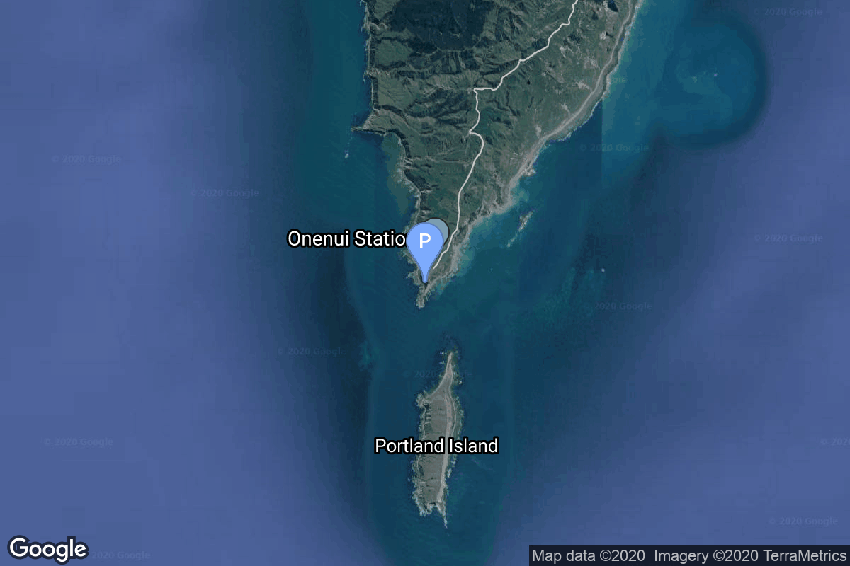
Launch Pad:
Rocket Lab Launch Complex 1A
Location:
Rocket Lab Launch Complex 1, Mahia Peninsula, New Zealand, New Zealand
Mission Details
Mission Name:
Get The Hawk Outta Here (4x HawkEye 360)
Type:
Earth Science
Orbit:
Low Earth Orbit
Mission Description:
HawkEye 360 is a a space-based civil global intelligence satellite network using radio frequency (RF) technology to help monitor transportation across air, land and sea and assist with emergencies, and to provide civil SIGINT (Signal Intelligence) mission. The constellation of small satellites (named Hawk) will collect information on specific radio signals worldwide to provide high-precision radio frequency mapping and analytics from Low Earth orbit (LEO). 3 of the satellites will comprise HawkEye 360’s Cluster 12 and will operate in a dawn-to-dusk polar orbit, while the 4th is Kestrel-0A, an experimental satellite designed to evaluate emerging capabilities and future technology enhancements.